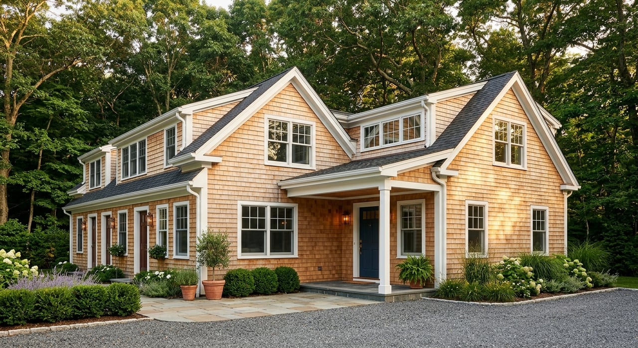
You can fall in love with a Lake Leelanau lot at first sight, then learn the shoreline, soils, or permits make building tough. You are not alone. Buying vacant land here is different from buying a finished cottage, and a smart plan up front can save you months and serious money. In this guide, you’ll learn the local rules that decide buildability, who to call first, the typical timeline, and how to budget for the site work that surprises most buyers. Let’s dive in.
Know who regulates your lot
Lake Leelanau’s shoreline crosses many townships and villages. Zoning is mostly set by the township, while county and state rules layer on top. Start by confirming the parcel’s jurisdiction, then pull the exact township zoning ordinance and county requirements that apply. The Lake Leelanau handbook outlines how jurisdictions overlap, and a sample township zoning ordinance shows where setbacks, bluffs, and site plans are defined. You will also touch county programs that control soil erosion and sedimentation.
Shoreline setbacks and bluffs
Township rules protect shorelines and bluffs to keep the lake healthy and stable. Setbacks are measured from the ordinary or established high water mark, often creating a protected strip 50 to 150 feet or more. Many ordinances also restrict clearcutting and impervious surfaces near the water, and they require replanting and stormwater controls after disturbance. Bluffs are defined separately and often have extra setbacks and construction limits. The effect is simple: you may not be able to place a home footprint near the water, and you might need engineered foundations or stepped designs on steeper sites. Confirm the exact definitions and distances that apply in the parcel’s township using the local ordinance.
Wetlands and in‑water work
If your lot includes low ground, marsh, or shoreline, plan for state review. Michigan’s Department of Environment, Great Lakes, and Energy (EGLE) oversees most wetland work under Part 303 and many in‑water activities under Part 301. The state uses a joint permit process that coordinates with federal reviewers. Read EGLE’s guide to wetland and inland lakes and streams permits so you know when a permit is needed. Because wetland boundaries are not obvious on a listing map, budget time and cost for a wetland determination if you see hydric soils, seeps, cattails, or marshy edges.
Lake level and your dock plan
Lake Leelanau has a court‑ordered lake level that sets different control points for summer and winter. The county’s Dam Authority operates the Leland Dam to raise the lake to the summer level around April 15 each year. Local zoning and lake groups use these control points to measure shoreline and to guide where docks and hoists should sit. Review the county’s seasonal practice in this Lake Leelanau lake level update. On a sale, ask whether the survey or deed references the established level. This matters for setbacks, dock placement, and how “waterfront” is measured.
Erosion and stormwater controls near water
Most earth changes near lakes, streams, and wetlands trigger county Soil Erosion and Sedimentation Control (SESC) permits. In Leelanau County, the Conservation District administers permits and inspections. Typical triggers include work within 500 feet of water, grading of one acre or more, and driveways with steep slopes. Read the county program overview and permit triggers from the Leelanau Conservation District. Expect to include silt fencing, stabilized entrances, and staged work plans in your budget and schedule.
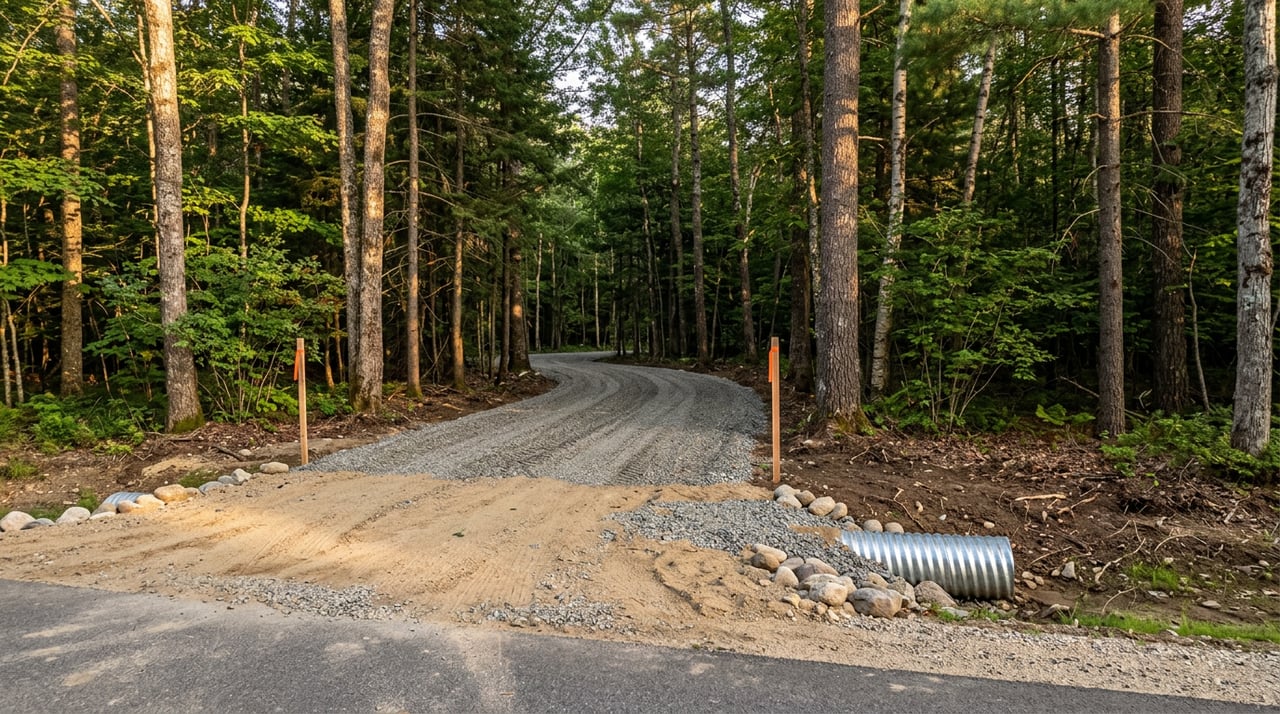
Road access and driveway permits
If you need a new driveway onto a county road, you will need a driveway or right‑of‑way permit from the Leelanau County Road Commission. Steep or long private drives can add significant cost and may also trigger SESC review. Ask the Road Commission to pre‑review your proposed driveway location and sight distances before you apply. Start with the driveway permit application guidance so you understand culvert, grade, and visibility requirements.
Wells, septic, and health department reviews
Leelanau and Benzie Counties follow a District Sanitary Code that includes Time‑of‑Transfer evaluations for wells and onsite sewage systems. For vacant land, your first step is a site survey with the Benzie‑Leelanau District Health Department (BLDHD). The code took effect January 27, 2023, and it details what the sanitarian will review and when repairs or upgrades are required. You can read the District Sanitary Code and the program overview for a BLDHD Site Survey.
In a site survey, the sanitarian evaluates soil type and permeability, depth to seasonal high water, slope, setbacks to wells and waterbodies, and available area for the drainfield and reserve area. If conventional septic is not feasible, an engineered or alternative system may be required. For wells, Michigan’s well code sets construction standards, and a registered driller files the well log. Bedrock depth and water yield are site‑specific, so plan for a test well if records are not available.
Soils, slopes, and your build costs
Soils around Lake Leelanau vary from sandy loams to pockets of silt or clay, with hydric areas near marshes. Slope classes matter for septic placement, erosion risk, and driveway grades. On steep sites, you may need engineered foundations, retaining structures, and longer, stabilized drives. On very flat sandy sites, high groundwater can limit septic performance. The right sequence is to review soil maps as a first pass, then dig test pits or borings where the house, driveway, and septic will go. Your septic designer and structural engineer will use that data to price the system and foundation correctly.
A simple permitting sequence
Follow this order to reduce surprises and rework:
- Confirm jurisdiction and download the township zoning ordinance and county SESC rules.
- Pull the BLDHD parcel file for any existing well logs or septic records, then schedule a Site Survey.
- Order on‑site soil pits or borings at likely house, driveway, and drainfield locations; request an engineered septic opinion if soils are marginal.
- If you see low ground or hydric indicators, request EGLE wetland jurisdiction confirmation before you assume a buildable footprint.
- Stake a driveway location and ask the Road Commission to review access and culvert needs, then apply for the driveway permit.
- Confirm electric and telecom availability and any line‑extension costs; ask about broadband options for the address.
- For waterfront or bluff parcels, confirm shoreline and bluff setbacks and whether the established lake level affects your setback line.
- Request a pre‑application conversation with township staff to identify any site‑plan or special‑use review triggers.
Buyer checklist for Lake Leelanau
Use this as a quick action list when you tour a lot:
- Identify the township and county rules that apply. Note shoreline and bluff setbacks early.
- Pull BLDHD well and septic records. If none exist, budget for a test well and a BLDHD Site Survey.
- Walk the site for hydric signs, seeps, and steep slopes. Flag any marshy edges for potential EGLE review.
- Map the likely house, driveway, and septic areas. Order test pits or borings in those footprints.
- Ask the Road Commission about driveway sight lines, culverts, and grade before you buy.
- Check utility access and line‑extension costs. Do not assume service is at the lot line.
- Review FEMA flood maps if the parcel is low or near the regulated lake level.
- Look for easements, conservation restrictions, and recorded covenants.
- If a view is essential, negotiate and record a view or building‑envelope easement.
Timeline and cost drivers
Plan on weeks to months, not days. A BLDHD Site Survey often takes 2 to 6 weeks. Scheduling soil borings or a test well can add 1 to 2 weeks. If EGLE wetlands or in‑water permits are required, expect 4 to 12 or more weeks. Township site‑plan or special‑use reviews may take 30 to 90 days depending on the calendar and hearing needs. Time‑of‑Transfer inspections at closing can also add steps if an existing system needs work.
Major cost drivers include septic upgrades or engineered systems, long or steep driveways and culverts, slope stabilization and retaining walls, wetland mitigation or permit fees, utility line extensions, and engineered stormwater controls required by SESC permits. Shoreline setback rules may also shift your layout, which can change costs.
Local pros to engage early
- Benzie‑Leelanau District Health Department sanitarian
- Licensed well driller registered under Michigan’s well code
- Licensed septic designer or civil engineer for alternatives
- Licensed surveyor or civil engineer to stake setbacks, driveway, and the building envelope
- Wetland consultant or EGLE staff contact if wetlands are present or suspected
- Real‑estate or land‑use attorney to review easements and covenants
Work with a local guide
Buying land on Lake Leelanau rewards careful due diligence and local experience. You want someone who knows the townships, the lake level rules, and the practical site costs that make a great plan work. If you are weighing multiple parcels or want help running this checklist, reach out to Peter Fisher for a focused consultation and a step‑by‑step path to a buildable site.
FAQs
What makes a Lake Leelanau lot “unbuildable” for a home?
- Common issues include shoreline or bluff setbacks that shrink the buildable area, regulated wetlands that need EGLE permits, septic soils that do not support a conventional system, or access limits that block a code‑compliant driveway.
How are shoreline setbacks measured on Lake Leelanau?
- Townships typically measure from the ordinary or established high water mark, which is tied to the lake’s court‑ordered water levels, so confirm the exact definitions and distances in the parcel’s township ordinance.
Do you need a state permit for docks or shoreline work?
- Many in‑water structures and any dredging or bottomland impacts require review under EGLE’s Part 301, and work in regulated wetlands requires Part 303 review, which the state handles through a joint permit process.
How long does septic approval take for a vacant lot?
- BLDHD’s Site Survey review often takes 2 to 6 weeks, and you should add time for on‑site soil pits, a test well if needed, and any engineering for alternative systems on marginal soils.
Who controls Lake Leelanau’s water level and why does it matter?
- The county’s Dam Authority operates the Leland Dam under a court order that sets summer and winter levels, and those control points are used for shoreline setbacks and for siting docks and hoists.
Do you need county approval for a new driveway?
- Yes, new access to a county road requires a driveway or right‑of‑way permit, and steep or long drives can add culverts, grading, and SESC measures that affect both cost and timeline.